
FLARE is 5th Technology’s integrated spatial solution designed for optimized flare stack location planning and flare pipeline routing in large-scale oil, gas, refinery, and petrochemical environments.
Built on GIS and advanced spatial analysis methodologies, FLARE enables engineering teams to evaluate multiple technical, environmental, operational, and safety parameters simultaneously—transforming complex flare placement challenges into optimized engineering decisions.
Why FLARE Solution Matters
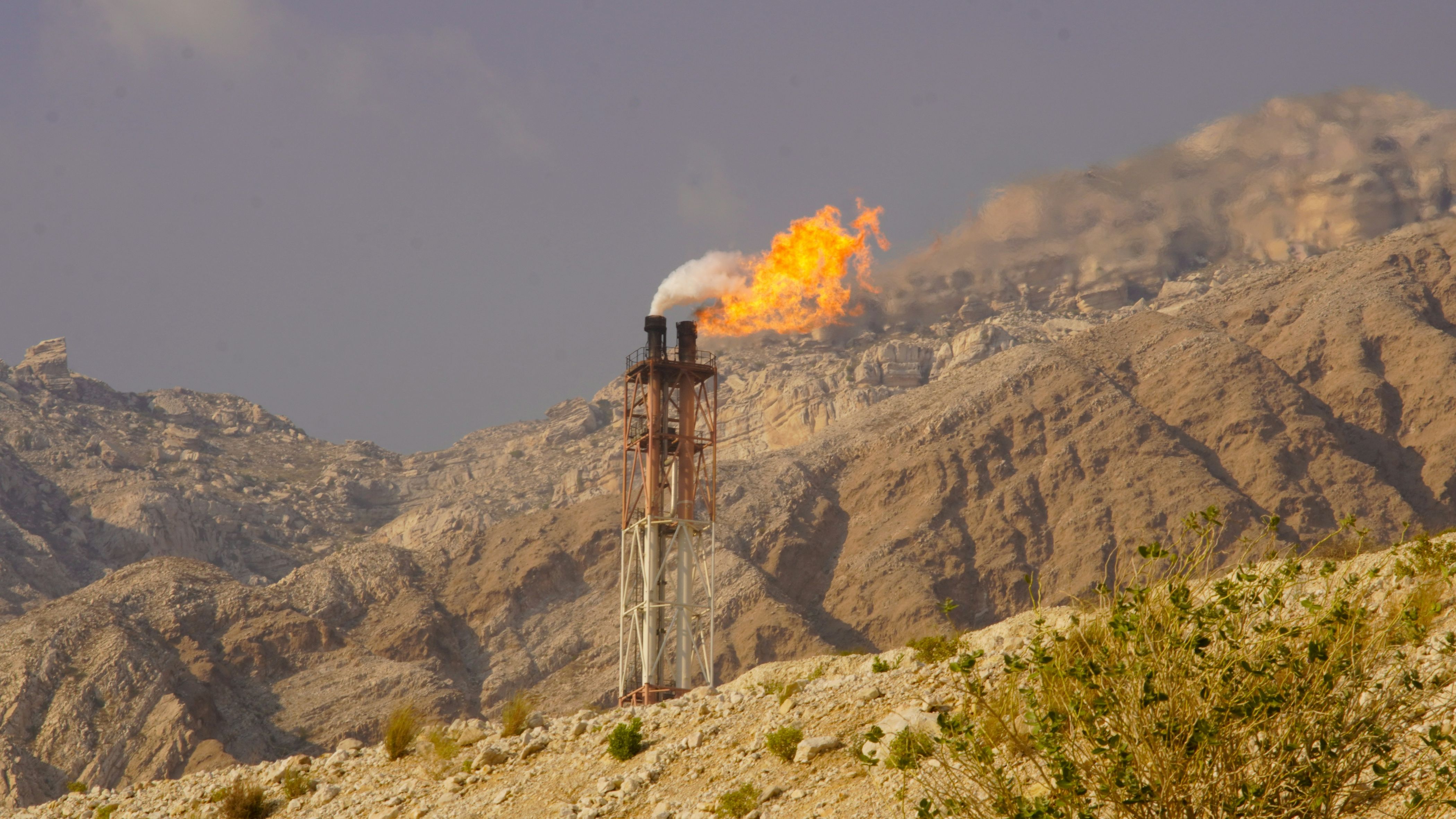
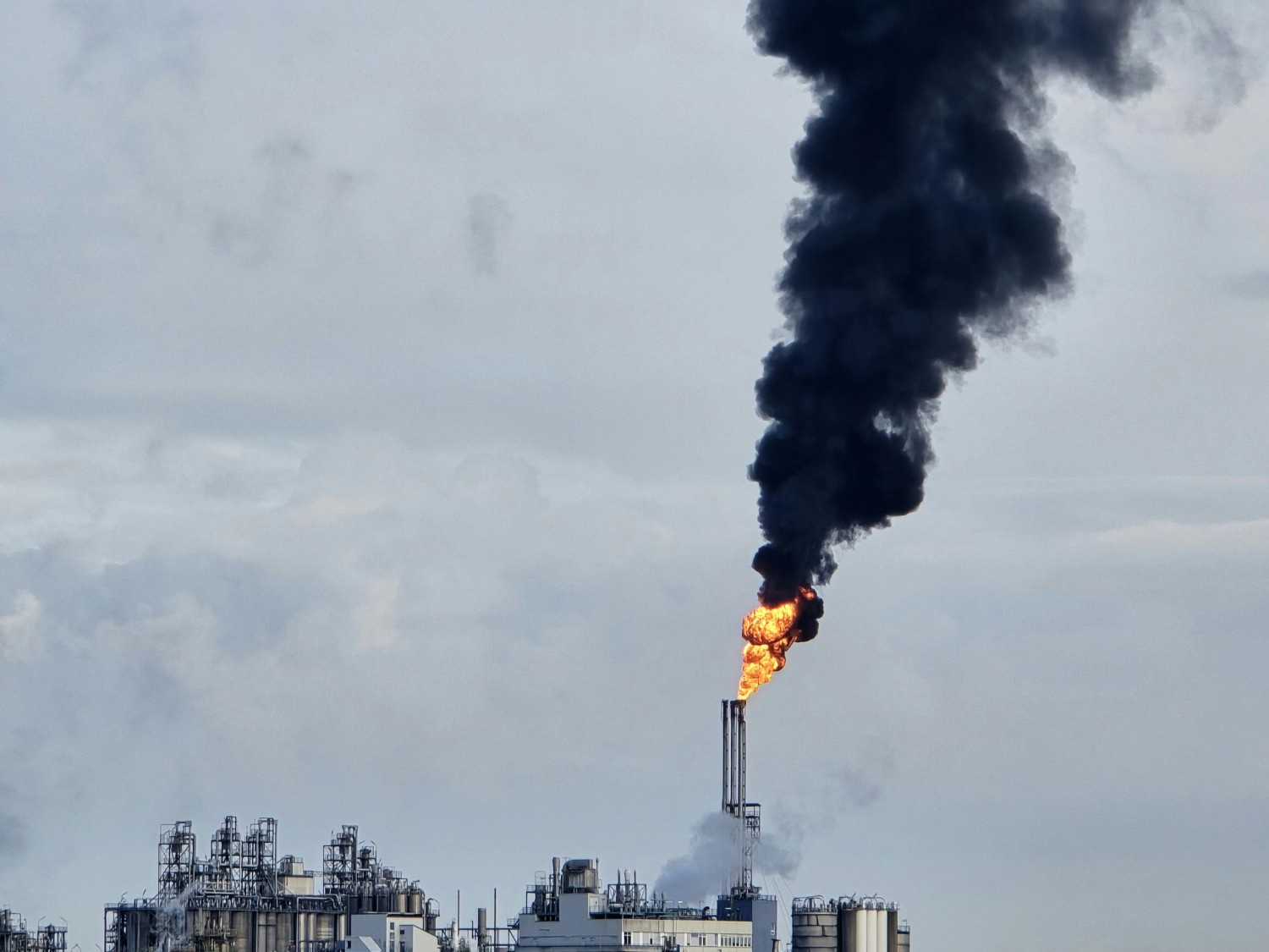
Flare systems represent the final safety layer in emergency gas disposal systems across refineries and petrochemical facilities. However, locating flare stacks within complex industrial environments presents major engineering and operational challenges, including:
- Limited available land for flare placement
- Complex topography and mountainous terrain
- Simultaneous placement of multiple flare systems
- Radiation safety constraints
- Environmental and geological risks
- Long and costly pipeline routes
- Interference with existing infrastructure and utilities
FLARE addresses this challenge through a GIS-based Spatial Decision Support System (SDSS) capable of analyzing spatial, technical, and operational factors within one coordinated framework.
Core Capabilities
FLARE integrates engineering analysis, GIS technologies, and spatial modeling to support:
1. Flare Stack Location Optimization
Identify suitable flare locations based on:
- Safety regulations
- Radiation impact zones
- Terrain constraints
- Geological considerations
- Infrastructure proximity
- Environmental limitations
2. Intelligent Pipeline Routing
Optimize flare pipeline routes while minimizing:
- Route length
- Utility conflicts
- Construction complexity
- Elevation changes
- Operational risks
3. Radiation Zone Analysis
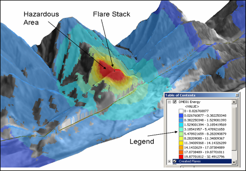
FLARE enables engineering teams to model and evaluate flare radiation distribution, identify overlapping radiation impacts between multiple flare systems, define hazardous exposure zones, and establish appropriate safety buffer areas to support safer infrastructure planning and regulatory compliance.
Key Engineering Considerations
FLARE evaluates a broad range of engineering and environmental parameters, including:
Infrastructure Constraints
- National roads and transportation corridors
- Gas transmission lines (IGAT)
- Utility corridors
- Existing industrial facilities
- Dams and water catchment areas
Environmental & Meteorological Factors
- Wind direction and atmospheric stability
- Pollutant dispersion behavior
- Weather impacts on flare radiation
- Environmental exposure assessment
Geological & Topographic Analysis
- Fault zones
- Flood-prone areas
- Erosion risks
- Landslide and slope stability
- Elevation constraints and terrain analysis
FLARE Methodology
The FLARE methodology combines iterative engineering evaluation with GIS-based spatial analysis.
The process includes:
- Initial flare location definition
- Radiation map calculation
- Multi-flare interaction analysis
- Hazard zone identification
- Pipeline routing design
- Feasibility evaluation
- Iterative optimization until final approval
This approach allows engineering teams to optimize both flare placement and pipeline routing simultaneously rather than independently.
Advanced GIS & Spatial Features
FLARE incorporates advanced GIS-based analytical capabilities, including:
- 3D radiation sphere modeling
- Shadow effect analysis
- Multi-flare radiation overlap analysis
- Hazard zone mapping
- Terrain-aware routing
- Spatial conflict detection
Measurable Results
Through spatial optimization and engineering analysis, FLARE has achieved significant operational and construction savings:
- Approximately 20% reduction in flare stack foundation elevation
- 35–50% reduction in high-radiation exposure zones
- More than 40% reduction in pipeline length
- Over 30% reduction in routing distances
- Increased shared routing efficiency between flare lines
Preliminary estimates indicate that more than 40 kilometers of piping can be saved in large-scale industrial environments. These optimizations also reduce:
- Construction complexity
- Cut and fill volumes
- Pipe supports and fittings
- Structural requirements
- Equipment usage
- Overall implementation time
Integrated with ITEMS Platform
FLARE operates alongside the ITEMS platform, enabling integrated engineering monitoring, spatial analysis, infrastructure management, and operational coordination across large industrial projects.
This integration supports:
- Unified spatial engineering workflows
- Infrastructure visibility
- Engineering coordination
- Large-scale industrial planning
- Operational monitoring