Services / Spatial Intelligence / GIS & Geomatics

Location Intelligence That Connects Everything

Geospatial data is the invisible layer that connects people, assets, infrastructure, and operations. At 5th Technology, our GIS & Geomatics services transform physical reality into structured, accurate, and intelligent spatial data—delivering clarity and reliability for complex, large-scale environments.

We bridge the physical and digital worlds through advanced surveying, spatial analytics, and intelligent mapping, empowering organizations to plan smarter, operate faster, and decide with confidence.

Precision at the Foundation: Surveying & Spatial Data Acquisition

From data capture to decision-support platforms, we deliver the full geospatial value chain.

We deliver high-accuracy spatial capture using technologies and field intelligence and provide the spatial data required for engineering, construction, utilities, telecom, energy, mining, and smart infrastructure projects.

Capabilities:

  • 01

    High-precision land and infrastructure surveying

  • 02

    As-built documentation and spatial validation

  • 03

    Terrain modeling and 3D surface generation

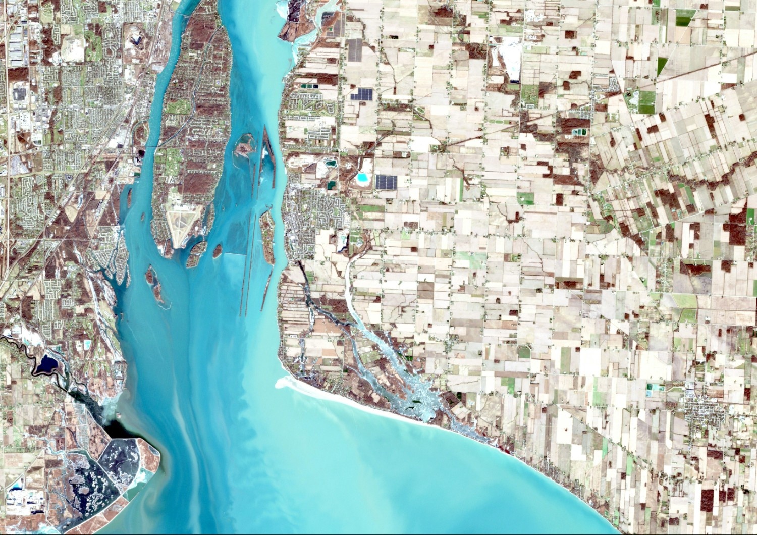
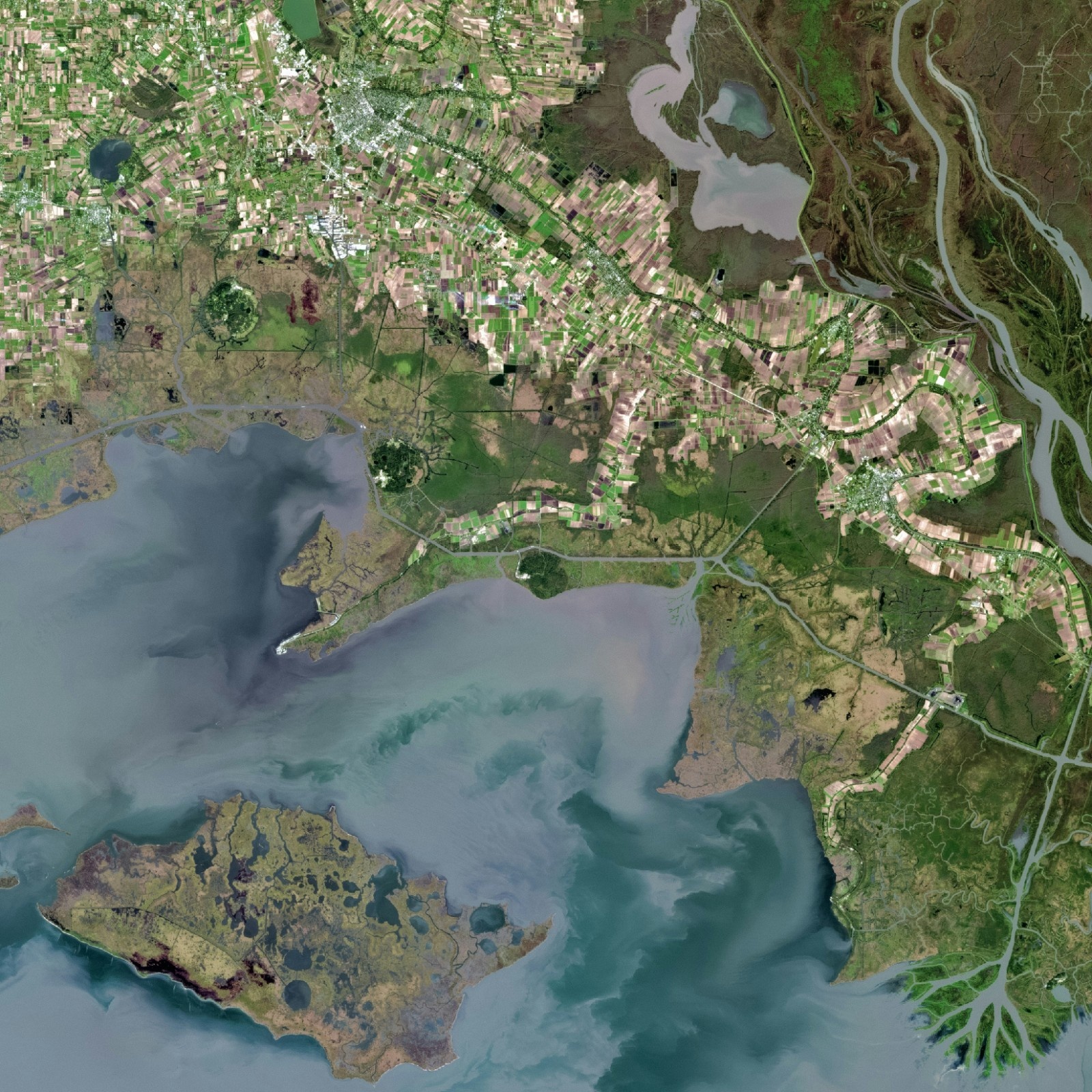
Abstract Geospatial Visualization

See Your Data on the Map

GIS Processing, Modeling & Visualization

Raw spatial data becomes valuable only when it is structured, analyzed, and visualized. Our GIS experts design robust spatial databases and transform multi-source data into clear, decision-ready intelligence.

See Visualization in Action

Our core GIS services include:

  • GIS data processing and quality control
  • Spatial modeling and simulation
  • Thematic mapping and multi-layer visualization
  • Geospatial analysis for risk, performance, and optimization

Spatial Analytics for
Planning & Prediction

By applying spatial analytics and AI-ready models, we help organizations identify patterns and build accurate forecasts.

We enable:

  • Site selection and network expansion planning
  • Infrastructure capacity and demand forecasting
  • Mobility and accessibility analysis
  • Environmental and risk-based spatial assessment
  • Predictive spatial modeling

Plan Smarter with Spatial Intelligence

Integrated Geospatial Intelligence: Digital Twins, IoT & Engineering Workflows

Our spatial data integrates seamlessly with digital twins, Coordinated digital models, BIM environments, and IoT ecosystems—creating coordinated models that support performance analysis, monitoring, and lifecycle management.

GIS + BIM + Digital Twin convergence
Explore Our Digital Twin Services

Connect the Physical and Digital Worlds

Real-Time Geospatial Dashboards & Operational Visibility

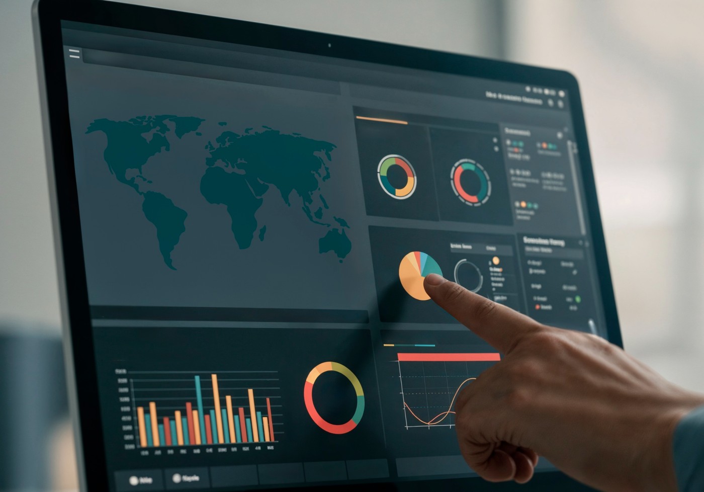
Decision-makers need insight instantly, not in static reports. We design interactive geospatial dashboards that provide real-time situational awareness, turning GIS into a living operational command center.

  • Live asset and infrastructure monitoring
  • Location-based performance and KPI tracking
  • Incident and risk visualization
  • Executive-level spatial intelligence and reporting
Geospatial Dashboard Mockup

Why 5th Technology for GIS & Geomatics?

Icon

End-to-end GIS & geomatics services

Icon

Engineering-grade spatial accuracy

Icon

Industry-specific solution design

Icon

AI-ready spatial analytics

Icon

Digital Twin & smart infrastructure integration

About 5th Technology

Turning Data into
Actionable Intelligence

Data Creates Potential, Insight Creates Values

At 5th Technology, our Analytics & Visualization services transform raw operational, spatial, and enterprise data into real-time intelligence that drives faster, smarter, and more confident decisions.

We connect analytics, visualization, and AI to deliver continuous situational awareness across operations, assets, customers, and infrastructure.

Explore Our Analytics Capabilities
Analytics Icon

Analytics

Visualization Icon

Visualization

AI Icon

AI

Ready to Turn Location into Strategy?

Let’s design your next geospatial transformation —together.

Contact Us
Abstract network graphic