Overview
Implemented a long-term integrated monitoring and information management framework covering more than 2,000 hectares of industrial utility and petrochemical infrastructure.

Applied Solutions
- ITEMS Platform Integrated industrial information management system
- PixO Spatial image and visual documentation management
- General Plan System Infrastructure planning and monitoring
- General As-Built System Engineering asset intelligence platform
Technologies
Scope of Work
- Continuous field monitoring and surveying
- Engineering compliance verification
- Spatial documentation updates
- Infrastructure monitoring and analysis
- Centralized industrial information management
Impact
- Improved infrastructure governance
- Enhanced coordination across industrial developments
- Reduced data fragmentation
- Better compliance with master planning requirements
Overview
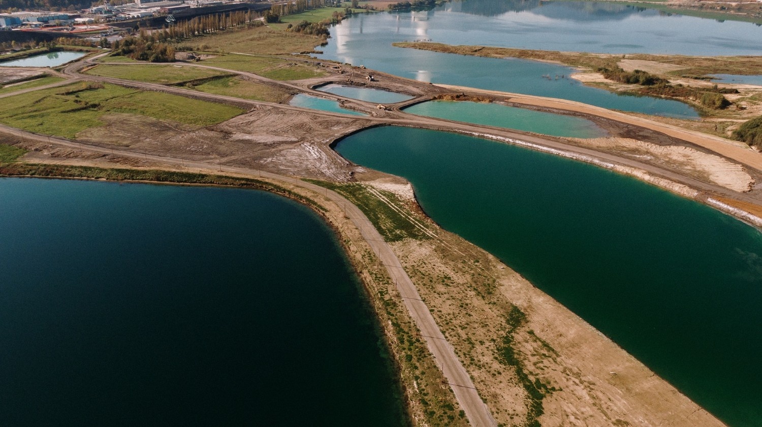
Updating and enhancing a 3D digital twin environment for critical industrial water intake infrastructure approximately 20 hectares through integrated spatial surveying and modeling.
Applied Solutions
- ITEMS Platform Centralized industrial information system
- PDMS Modeling 3D infrastructure modeling
- General As-Built System Spatial infrastructure documentation
Technologies
Scope of Work
- Laser scanning and UAV surveying
- Underground infrastructure detection
- PDMS model updates
- 3D infrastructure data integration
Impact
- Improved infrastructure visibility
- Enhanced maintenance planning
- Better engineering coordination
- Increased operational accuracy
Overview
Provided full supervision and monitoring services for large-scale industrial land preparation operations covering approximately 200 hectares.

Applied Solutions
- Engineering Supervision Services Site preparation and infrastructure monitoring
- Spatial Surveying & Terrain Analysis Earthwork and grading verification
Technologies
Scope of Work
- Earthwork supervision
- Slope and grading control
- Final elevation verification
- Contractor claim review and reporting
Impact
- Improved construction quality control
- Reduced execution discrepancies
- Better compliance with engineering specifications
Company
Industries
Services
Resources
Solutions